Drone & Equipments
- Home
- Drone & Equipments
Our Portfolio
Showcase Introduction
WayPoint UAV is proud to support top engineering and design firms in Los Angeles with high-quality drone data and visual documentation. Our portfolio reflects our commitment to accuracy, safety, and excellence.

Torrance Infrastructure Project
Facilitated comprehensive mapping and progress documentation for major roadway improvements, allowing the city to make informed, data-driven decisions.
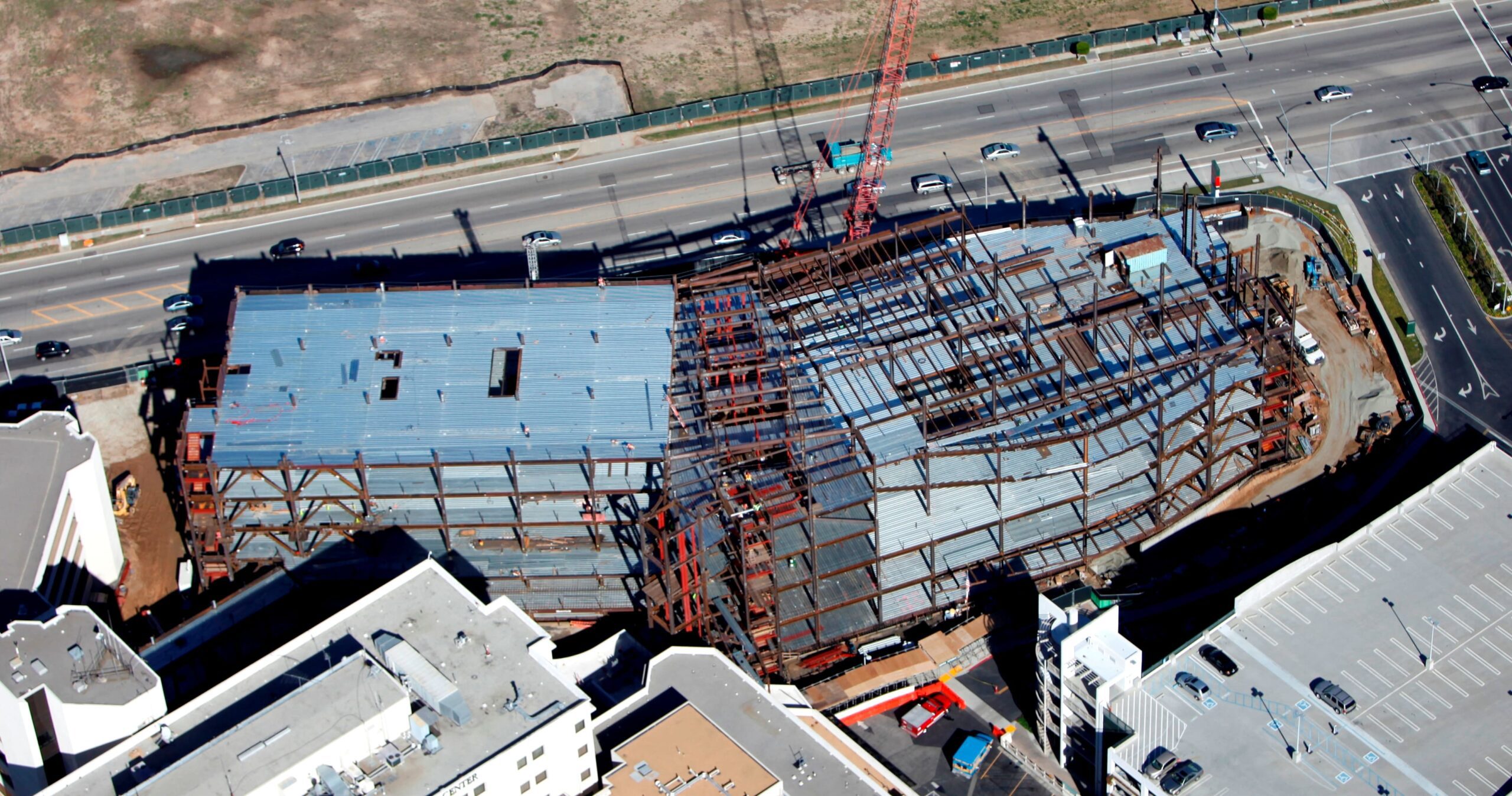
LA Chargers Practice Facility – Mapping, Status Photos, Progress, City of Costa Mesa. Construction of facility
City of Lakeforrest – Pavement Improvemtn Project – How many pot holes, mile long, help them decide if they need to do grind overlay or slurry. City enigineers, PW, Manager
