Precision Drone Services for Engineering and Design Firms in Los Angeles
Streamline your projects with WayPoint UAV’s advanced drone solutions for inspections, progress tracking, and topographic mapping.
Streamline your projects with WayPoint UAV’s advanced drone solutions for inspections, progress tracking, and topographic mapping.
The Top 5 Ways Drone Technology Can Improve Project Efficiency.'
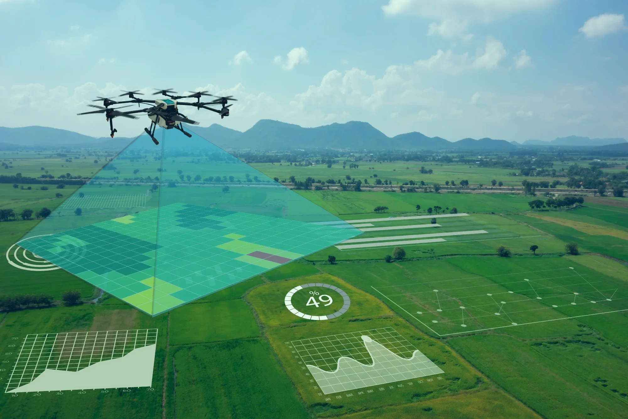
Capture detailed aerial views to monitor project phases, ensuring timely completion.
Conduct safe and accurate drone inspections to meet compliance and reduce risk.
Generate high-resolution site maps for precise planning and environmental assessments.
Eyes on the scene in seconds, before officers are dispatched.
Get reliable, up-to-the-minute data on-site conditions.
Monitor projects safely, reducing on-site hazards.
Optimize resources and reduce operational costs with drone technology.
Lorem ipsum dolor sit amet, consectetur adipiscing elit. Ut elit tellus, luctus nec ullamcorper mattis.
Sed placerat praesent sit cursus dapibus at per. Eu torquent turpis dis praesent nisi imperdiet facilisi vestibulum lorem posuere.
Id gravida nascetur est dignissim dictum lectus nullam morbi posuere.
Lorem ipsum dolor sit amet, consectetur adipiscing elit. Ut elit tellus, luctus nec ullamcorper mattis, pulvinar dapibus leo.
"WayPoint UAV made it easy to manage our project timeline and ensured safety at every stage. Their progress tracking was invaluable."
Have a question or need assistance? We’re here to help! Feel free to reach out to us, and our team will get back to you as soon as possible. Your inquiries are important to us, and we strive to provide prompt and helpful responses to ensure your satisfaction.
Notifications
